A number of fields in the BMDE describe location. Many are self-explanatory, including Continent, Country, StateProvince, County, IslandGroup, and WaterBody. The Locality field is less standardized, and may contain any description of the locality of the observation including the name of a field station, atlas square, or study site.
Not all of the above fields must be populated in every dataset, but whenever possible we strongly encourage that locations are provided using the DecimalLatitude and DecimalLongitude fields.
Data in these fields should be provided in decimal coordinate format. For example, a latitude of 52 degrees, 38 minutes, and 12 seconds north should be represented by 52.636667. Note that in this format, negative values are typically used to represent latitudes in the Southern Hemisphere and negative longitudes in the Western Hemisphere. For data collected in Canada, then, all latitudes should logically be positive and all longitudes negative.
Typically the latitude and longitude should use the geodetic datum (the system of reference from which the coordinates are derived) NAD83 or WGS84. The datum used should be indicated in the GeodeticDatum field.
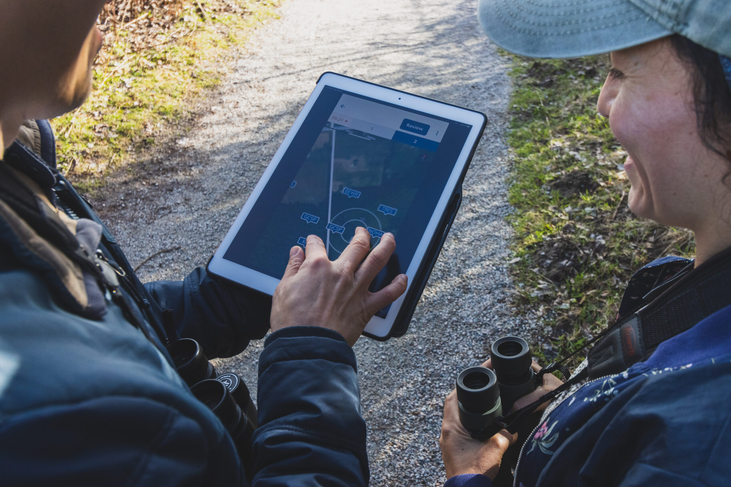
Photo by Kris Cu
The coordinates in the latitude and longitude fields typically represent a single point associated with an entire sampling event, or survey. All observations within a survey will normally have the same set of coordinates. These coordinates could be for the center of a point count, the starting point of a transect survey, the approximate locality of a general checklist, or even the centroid of a broader location like a 10x10km atlas square. The CoordinatesScope field may be helpful in determining exactly what the coordinates represent, and the protocol fields or project metadata can also help provide clarity.
The precision of the coordinates measurement may be indicated in the CoordinatesUncertaintyInMeters or CoordinatesUncertaintyInDecimalDegrees fields.
In some surveys the precise coordinates of an individual observation can also be recorded. This is provided using the SpecimenDecimalLatitude and SpecimenDecminalLongitude fields.
Finally, in some cases coordinates may be reported using the UTM system rather than latitude and longitude. If used, UTM coordinates can be found in the fields UTMZone, UTMNorthing, and UTMEasting.
Next section: Effort Fields