The BMDE accommodates data collected in a variety of different ways. Understanding how data in a given dataset were collected will help you make sense of the data and use it appropriately. As mentioned previously, information on how the data were collected can be found in the ProtocolReference and ProtocolURL fields (if populated) or the project’s metadata.
Some common types of datasets using the BMDE are:
Area Searches – An area search, sometimes referred to simply as a checklist, is a common method of semi-structured data collection used by projects like breeding bird atlases and eBird, among others. In an area search, an observer simply moves through an area recording any birds (or other organisms) they encounter. Typically area searches do not have a predefined path or duration.
In some cases, area searches may be more structured. Transects and censuses are essentially area searches with defined paths and/or durations, though how precisely those parameters are defined varies by project.
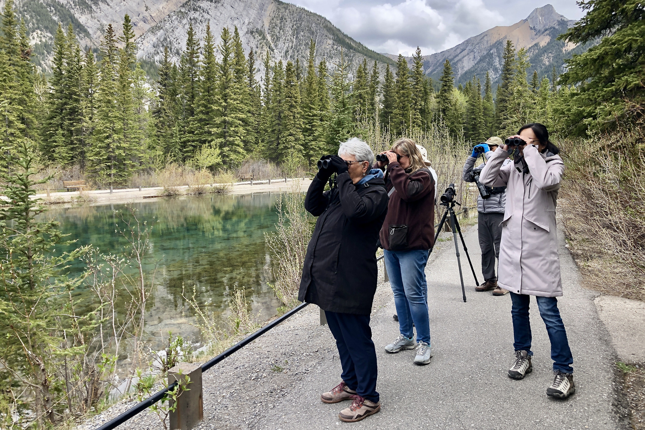
Photo by Jody Allair
Point Counts – A point count is a standardized method of surveying for birds in which an observer remains stationary at a fixed location for a fixed duration, recording all birds they observe. Their structured nature, with well-quantified effort, makes point counts a valuable tool for avian research and monitoring.
The duration of a point count varies by project. In some cases the point count duration is divided into smaller intervals, which may help answer questions about detectability and make point counts from various projects easier to compare directly. Many point counts also divide observations into distance bins, based on the distance of the bird from the observer. In the BMDE, these time and distance bins are typically reflected in multiple Observation fields (see previous section).
In some cases, each species, time, and distance bin combination is given a separate record, so it is important to check point count datasets carefully to understand how the data are stored.
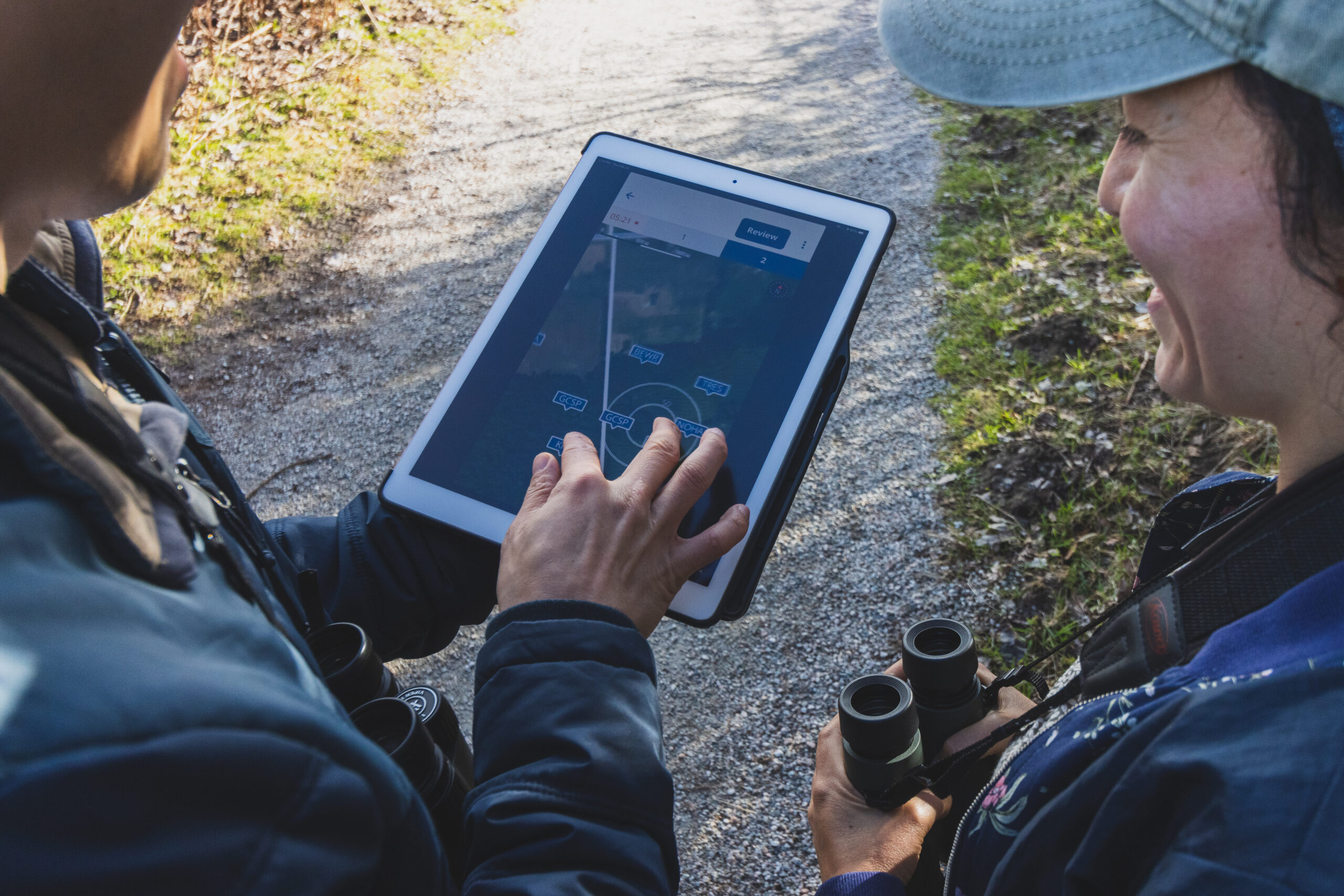
Photo by Kris Cu
Stop-Within-Route Surveys – These protocols involve predetermined survey routes which are each comprised of several stops. An observer travels along the route, conducting a survey at each stop. The individual surveys may take the form of point counts, playback surveys (using a recording of a bird call to elicit a response), or other survey types. Programs that use stop-within-route surveys include nocturnal owl surveys and the Breeding Bird Survey.
In a stop-within-route survey, several locations are linked by virtue of the route in which they exist. In the BMDE, the route should be identified in the RouteIdentifier field, and the individual stop should be identified in the SurveyAreaIdentifier field. Ideally the survey area identifier would contain the route identifier – for example, the survey area identifier for the fourth stop in route ON123 might be ON123-4. Each survey conducted at an individual stop should also have its own SamplingEventIdentifier.

Photo by Roxane Filion
Next section: Types of Data Structures


